


New Online Tool Offers Real-time & Historic Water Data Across Saugeen Watershed
The Saugeen Valley Conservation Authority has launched an online platform offering public access to real-time water and environmental data across the Saugeen watershed, supporting emergency planning.

The Saugeen Valley Conservation Authority (SVCA) has launched a new online platform giving the public and municipal stakeholders free access to real-time environmental monitoring data across the Saugeen watershed.
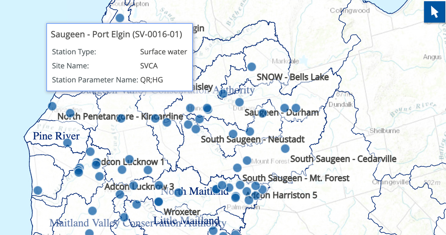
The Collaborative Water Data Viewer (CWDV), launched August 5, allows users to explore live updates from SVCA’s hydrometric network, including data on rainfall, streamflow, water levels, air and water temperatures, and soil moisture. Previously, only historical rainfall and snow data were available to the public on a biannual basis.
“This is an important step forward in transparency, accessibility, and watershed engagement,” said Katie Thomas, Manager of Water Resources at SVCA. “Our partners and the public can now access reliable environmental monitoring data in real time, supporting emergency preparedness, research, and responsible planning.”
The platform aggregates data from over 180 monitoring stations operated by multiple conservation authorities in Western Ontario, with some historical records dating back to 1914.
SVCA’s own data is managed through the Water Information System by Kisters (WISKI), and shared in partnership with the Western Ontario Data Hub — a regional collaboration hosted by the Upper Thames River Conservation Authority.

The tool is designed for a wide audience, from municipal emergency coordinators and engineers to educators and residents. Users can graph, view, and download data in multiple formats. Training sessions for municipal staff are planned for late 2025.
SVCA serves municipalities across Grey, Bruce, and parts of Wellington and Huron counties, including Owen Sound, West Grey, Southgate, Arran-Elderslie, Kincardine, and others.
The agency is also exploring future expansion of the platform to include groundwater levels and water quality data.
Residents and stakeholders can explore the new Collaborative Water Data Viewer at www.saugeenconservation.ca/data.